Theme: My independent
Kazakhstan
The aim
of the lesson: 1)To develop the pupils’ ability, to discuss its
geography, its
symbols,
traditions.
2) To
develop the pupils’ skills and habits in monologue speech
through
asking
–answering the questions.
3) To
enrich pupils` vocabulary
4) To
love native place, be proud of it.
Visual aids: pictures of Astana, a map of Kazakhstan, interactive
board, slides.
The type
of the lesson: consolidation lesson
Teaching
of methods: group work, asking –answering the questions
The procedure of the lesson
-
Organization moment
Teacher’s conversation with duties.
T: Boys and girls, today we are going to talk
about Kazakhstan, its geography, symbols and traditions. Let’s
begin.
2.
Warm up
1.We’ll know a lot of information about our
country. Let’s answer the questions
T:-Where do you live?
-What is
the capital of the Republic of Kazakhstan?
-Where is it situated?
3.
Practise reading and saying the words. T-cl-P1,P2
Kazakhstan, China, Russia, Turkmenistan, Uzbekistan,
Kirgizia
The Caspian sea Ala Kol
The southwest Tengis
The Syr-Dariya Balkash
Zaisan The Urals
4.
Complete these proverbs:
East or West,… .
There is no… .
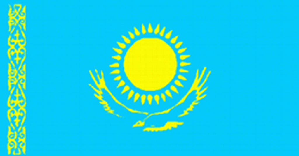
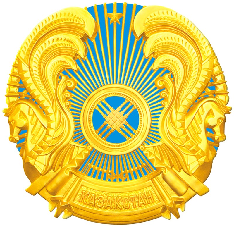
5.Flag and Emblem of Kazakhstan
T:-What can you say about the flag and emblem of our republic?
 .
6. Read
the text” The Geographical Position of the Republic of
Kazakhstan”
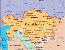
T: Look
at the map This is our Republic of Kazakhstan ,a sovereign
independent state in the centre of Eurasian continent.
7.Writing. Match the facts about Kazakhstan .
Words: Facts:
-
P opulation 1)Almaty, Kostanai
-
Capital
2)16 million people
-
native
language 3)Astana
-
area
4)Kazakh
-
largest
cities 5) 2,753 million sq.km
-
currency
6) Nursultan Nazarbaev
-
president 7)Tenge
8.Facts and historical events
T:
I’ll show them slides(Summit, Asian Games)
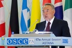
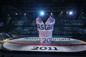
-16.12.1991-Independence of the Republic of
Kazakhstan
-1.2.12.2010-Summit of OSCE in Astana.
-1.02.2011- The 7th Winter Asian Games in
Astana and Almaty.
9.Dance
T:
Let’s see our traditional dance “Karazhorga”
10.Draw a scheme of Kazakhstan.
Kazakhstan


Capital: Astana
The area:2.753000 sq.km
Population:16 mln
Borders: Russia, Uzbekistan ,Turkmenistan ,China
The official language: Kazakh
Our national currency: tenge
Cities: Almaty. Astana. Chymkent. Pavlodar.
Rivers: The Irtish, the Syr-Darya ,the Illi.
Lakes: Balkhash ,Zaisan , Alakol
The highest mountain: Han-Tengry
11.Conclusion.You are very actively. Good-bye,
pupils!
Giving
home- task:ex7

 ЖИ көмекші


 Қауіпсіз төлем









 Бұл курс Қазақстан Республикасы Оқу-ағарту министрлігімен келісілген